01The system behind the project
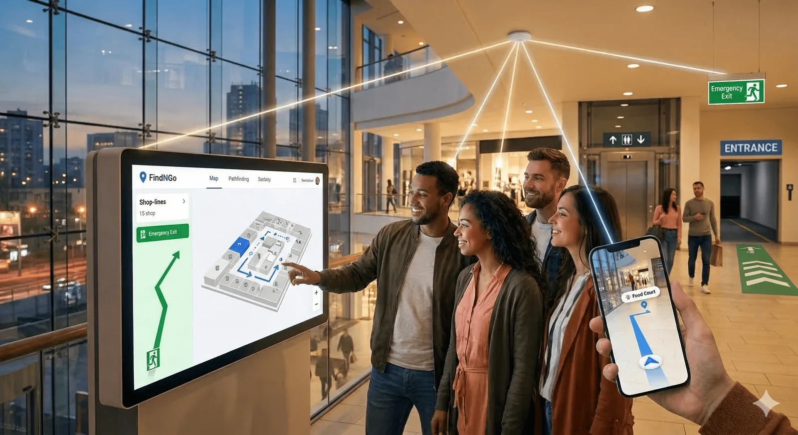
FindNGo is an MVP-stage indoor wayfinding concept combining offline-capable navigation, accessible route planning and emergency information for complex buildings; positioning accuracy, safety integration and privacy controls still require validation. Visitors can become disoriented in large, complex buildings. A shared system could connect hospitals, education and transport venues across the agglomeration; current cross-venue deployment is not evidenced. The direct product is orientation support inside complex venues, not certified evacuation control. Functional agglomeration value would come from reusable map standards and accessibility profiles across hospitals, education and transport sites; each venue retains responsibility for its building, emergency plan and data.
02How the intervention works
FindNGo should combine controlled indoor maps, positioning observations, accessible-route attributes and offline guidance in one versioned venue package. The system needs a surveyed indoor base map, floor and connector graph, accessible-route attributes, points of interest, positioning observations and an offline routing package. Position confidence must be visible. Map versions, closures, lift status and emergency messages require signed updates. Personal traces should remain optional, minimised and separated from aggregate venue analytics. Acceptance should use recorded routes, known control points, representative devices and signed venue map versions rather than demonstration impressions.
03From concept to an operable asset
Select pilot venues with different geometry and accessibility needs; survey them to a controlled mapping standard; calibrate positioning; and test offline routing with blind, low-mobility and unfamiliar users. Validate route completion, location error, update latency and battery use. Emergency information must be rehearsed with venue safety teams and must never contradict approved evacuation instructions. Expansion follows only accepted venue evidence. MVP readiness and participant figures in the source do not establish cross-venue deployment, validated positioning accuracy or safety approval.
04What must be proven before commitment
Due diligence for FindNGo must verify ownership and update rights for indoor maps, positioning accuracy by floor and device, behaviour without connectivity, accessible-route completeness, fire-plan interfaces and the authority that publishes emergency messages. It must test consent, retention, analytics aggregation, cybersecurity, false-location risk, maintenance effort, venue integration cost, intellectual property, liability and the assumptions behind user and revenue forecasts. Approval requires measured accuracy by floor, device and crowd condition, plus documented safe behaviour when confidence falls below the navigation threshold.
05Where a partner can create value
Required capabilities include indoor surveying and GIS, Bluetooth or alternative positioning engineering, offline mobile development, accessible UX and assistive-technology testing, venue operations, fire and civil-protection review, privacy engineering, penetration testing and independent usability research. Pilot hosts must provide current plans, closure updates and authorised emergency content. A support operator must maintain map versions, beacon inventories, device compatibility and incident logs. Accessibility organisations should co-design route attributes and acceptance tests. Emergency content and building closures must follow the approved venue emergency plan and be authorised by the competent venue owner together with the responsible public authorities.